 Read more here
PiB Geospatial
PIB Geospatial Solution: Converting satellite data into insight that drives better decisions.
- Harvesting +
- Tree Health +
- Deforestation +
- Traceability +
- Sustainability +
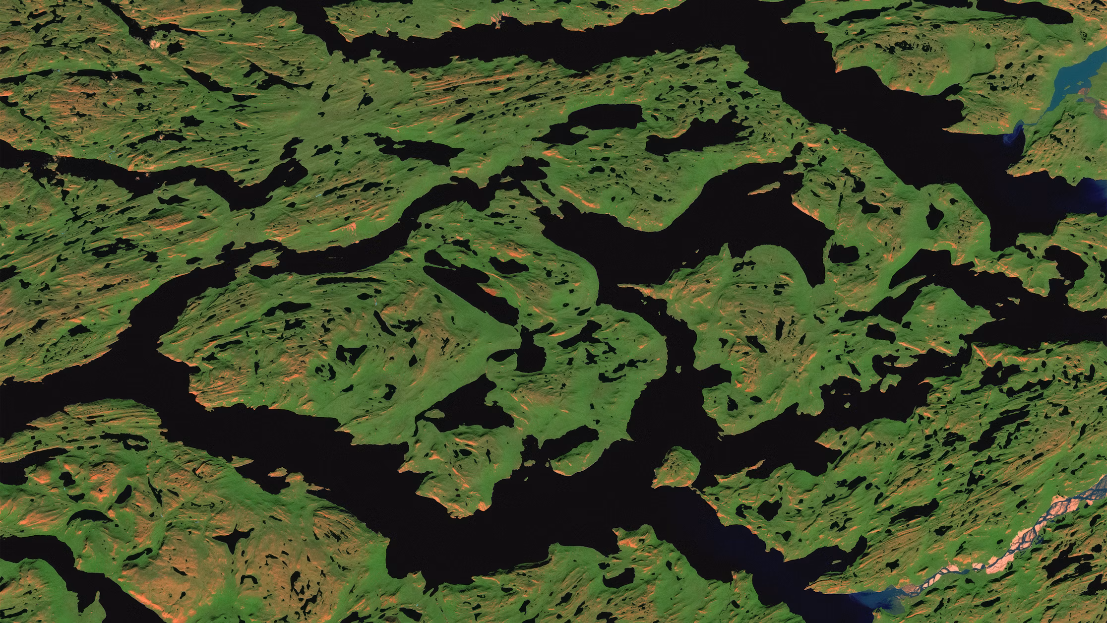
At PiB Geospatial, we believe that technology for analyzing planetary changes should be accessible to all professionals and decision-makers. Our aim is to offer new earth observation solutions that meet this goal without costly barriers. We champion open and unrestricted access to geospatial data, ensuring everyone can benefit.
Our Process

Gather Data
Collect diverse geospatial data using cutting-edge satellite and drone technology.
Analyze & Interpret Data
Transform raw geospatial data into actionable insights with advanced analytics.
Present Data
Visualize and deliver clear, impactful geospatial data for effective decision-making.
Our Remote Sensing Solutions
- Natural Forestry +
- Deforestation Monitoring +
- Commercial Forestry +
- Precision Agriculture +
- Mine Monitoring +
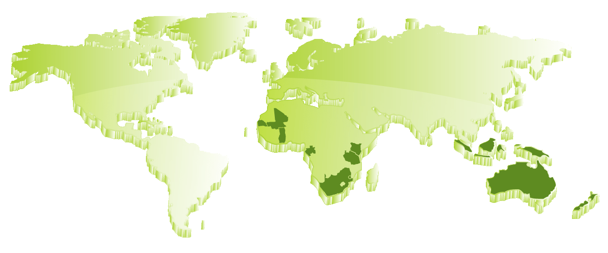
Join Our Community